Services For Architects

3D LiDAR Scanning Services


3D SCANNING - FOR ARCHITECTS

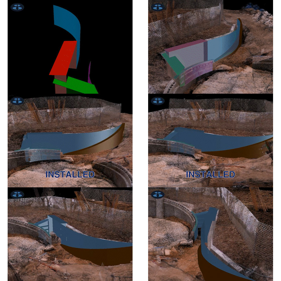
3D modeling, using point cloud data as a backdrop, is a profound experience for first time designers. Since the data behaves much like a hologram, one can snap to, measure, clip and slice the “real world” to reference into virtual world. Designers have instant access to the true dimensionality of a location, giving them, and their clients, the visceral experience of seeing design data as it will truly exist.
 

3D SCANNING - RESTORATION OF HISTORIC STRUCTURES

LiDAR scanners can collect data with with milimeter accuracy. For restoration projects, architects can design as if they are in the actual space, and can perfectly replicate architectural details (i.e. custom wood working, etc.) with unprecedented fidelity.


3D SCANNING - DIGITAL PRESERVATION OF HISTORIC STRUCTURES

Historic buildings that cannot be salvaged physically, can still be saved “digitally”. LiDAR and photogrammetry capture a literal 3D snapshot of the physicality of a location as it exists at that moment. As the technology for interacting with LiDAR data (i.e. VR and AR) continues to evolve, so too will the platforms for interacting with these bygone historic locations. We should be scanning now, those locations that are in the most vulnerable states of decay.


3D SCANNING - HERITAGE TREE ANALYSIS

Here in Austin, numerous species of native trees are protected and the city has strict rules regarding their alteration or removal during construction. Time-consuming negotiations are often needed to apply these rules to specific trees. The process has largely been one of interpretation, rather than a true quantitative exercise. But with point cloud data, these “heritage” trees can now be analyzed during the design phase. This will vastly improve the efficiency and clarity around this issue.